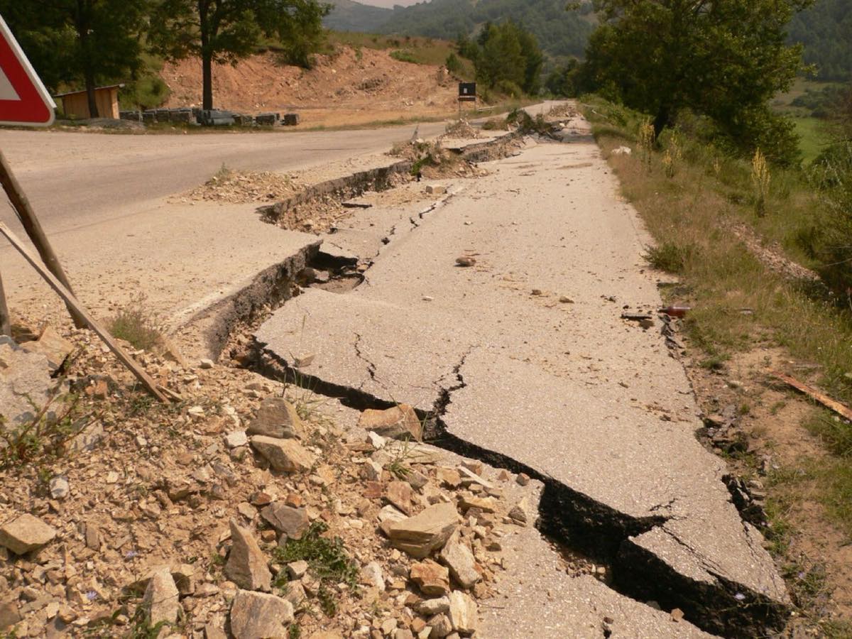
Landslide at Gorni Vadin, Oryahovo municipality
Setting
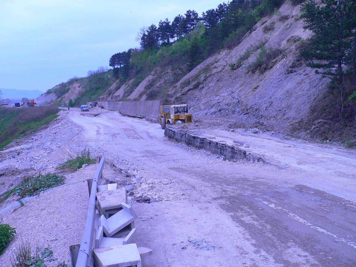
The right bank of the Danube between Vidin and Silistra is one of the most active landslide areas in the country. Over twenty catastrophic events were recorded along it between 1940 and 1991, and many of the settlements on the bank stand on old landslide bodies.
The Gorni Vadin landslide is among the largest. It develops in Tertiary clayey sediments and is fed both by undercutting of the bank and by surface water collecting in a ravine directly above the landslide scarp.
Investigation
Boreholes were drilled along several profiles across the landslide, with field tests and laboratory determination of the strength parameters of the clays. Results from the direct shear apparatus, the ring shear apparatus and back analyses of the failed slope were compared — a comparison that yields a realistic value for the residual shear strength.
Slope stability models were built on this basis and the influence of the groundwater level on the factor of safety was analysed.
Solution
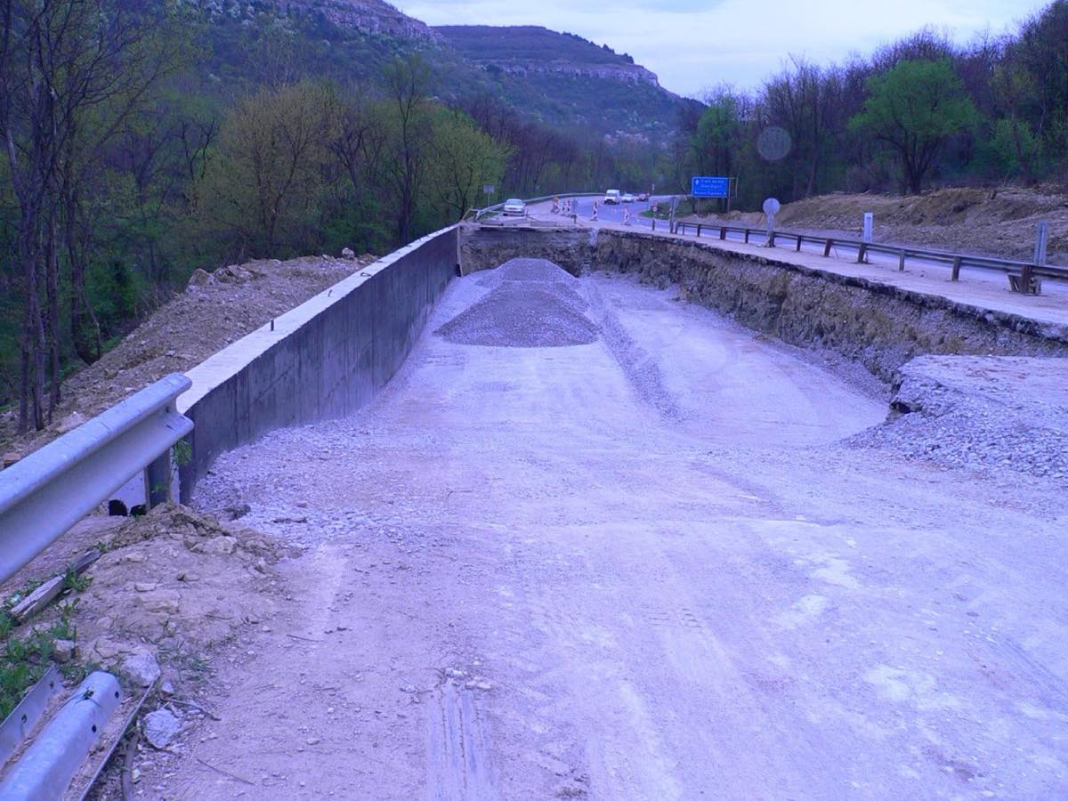
A reinforced counterfort embankment at the toe of the slope was recommended, taking the destabilising forces while also protecting the bank from undercutting. It is dimensioned to work under the least favourable water level.
Drainage
The second half of the solution is water. The existing ravine was corrected, surface water diverted clear of the landslide body, and a drainage system now keeps the groundwater table permanently lowered — the factor that in recent decades has proved more decisive than abrasion in reactivating landslides on this bank.
The combination of mechanical support and drainage is the approach the company applies on many other sites along the Danube and the Black Sea coast.